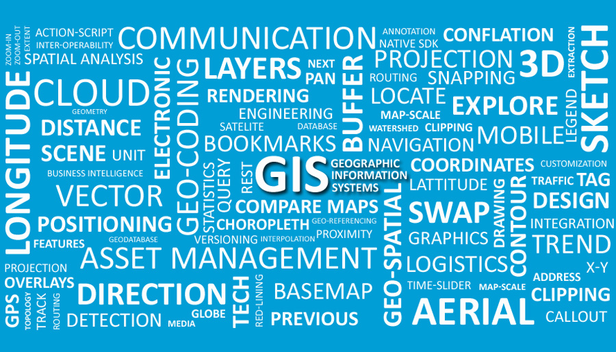

Geographic Information Systems (GIS)
Superior IT offers custom application development for Geographic Information Systems (GIS) solutions, encompassing rich internet, mobile and desktop applications. We extend our services to solution-centric geospatial business intelligence and analytics.
Our GIS professionals blend their proactive attitude and experience with the leading geospatial technologies, generating practical solutions. We utilize various tools and software from organizations such as Esri, Microsoft, Oracle, IBM, SAS, Google, and Adobe.
Our geospatial solutions and services encompass the following:
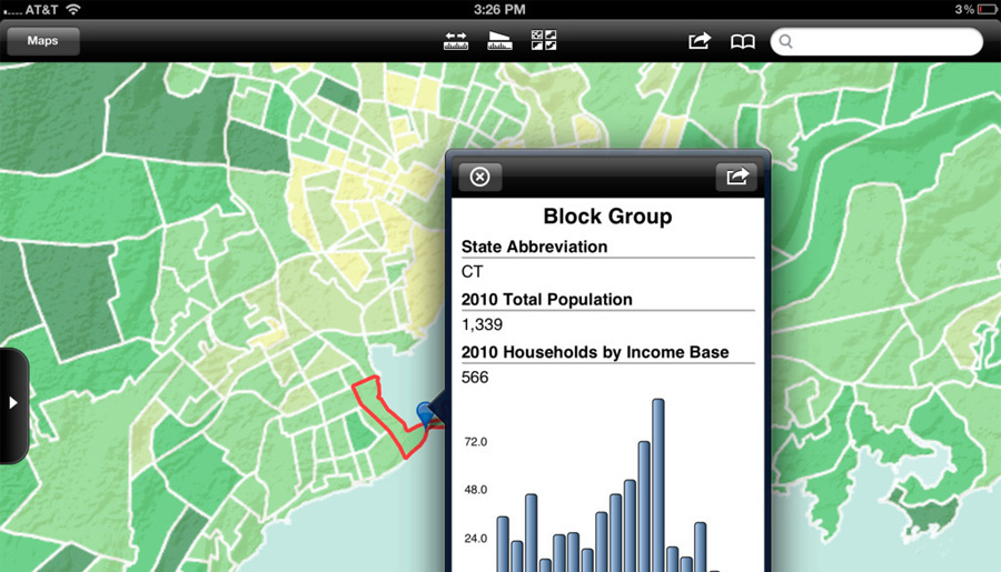
- Custom Solutions Development for Web, Mobile and Desktop platforms
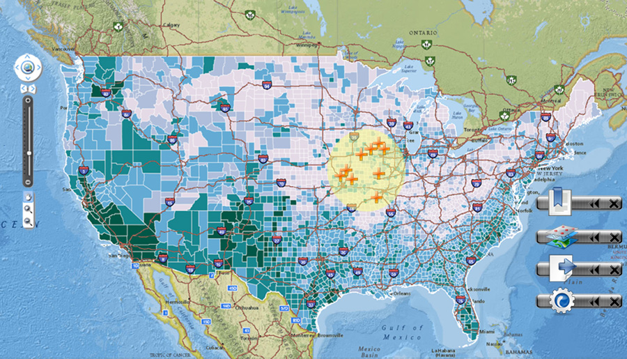
- GeoSpatial Business Intelligence and Geo-Analytics
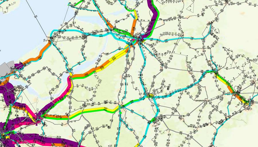
- Data Interoperability, Conflation and Geodatabase Development
- Complete Esri ArcGIS Toolset (Server, Desktop, Mobile, SharePoint)
- ArcGIS Runtime, ArcGIS Online, ArcGIS Engine, Native SDKs, ArcObjects, ArcPy
- ArcGIS Server REST APIs for Flex, Silverlight and JavaScript
- MapServer, OpenStreetMap, OpenLayers, PostgreSQL, AutoCAD Map 3D
- HTML 5, CSS, JavaScript, JQuery, DOJO and Open Standards Toolsets
Our GIS professionals blend their proactive attitude and experience with the leading geospatial technologies, generating practical solutions. We utilize various tools and software from organizations such as Esri, Microsoft, Oracle, IBM, SAS, Google, and Adobe.
Our geospatial solutions and services encompass the following:
- Custom Solutions Development for Web, Mobile and Desktop platforms
- GeoSpatial Business Intelligence and Geo-Analytics
- Data Interoperability, Conflation and Geodatabase Development
- Complete Esri ArcGIS Toolset (Server, Desktop, Mobile, SharePoint)
- ArcGIS Runtime, ArcGIS Online, ArcGIS Engine, Native SDKs, ArcObjects, ArcPy
- ArcGIS Server REST APIs for Flex, Silverlight and JavaScript
- MapServer, OpenStreetMap, OpenLayers, PostgreSQL, AutoCAD Map 3D
- HTML 5, CSS, JavaScript, JQuery, DOJO and Open Standards Toolsets