

Our Services
Enterprise Software AppsGeographic Information Systems
Work and Asset Management
Location Intelligence Analytics
BI and Data Warehousing
Cloud Computing Management
Data Transformation
Professional Technical Consulting
GeoSpatial Expertise
Geographic Information Systems (GIS)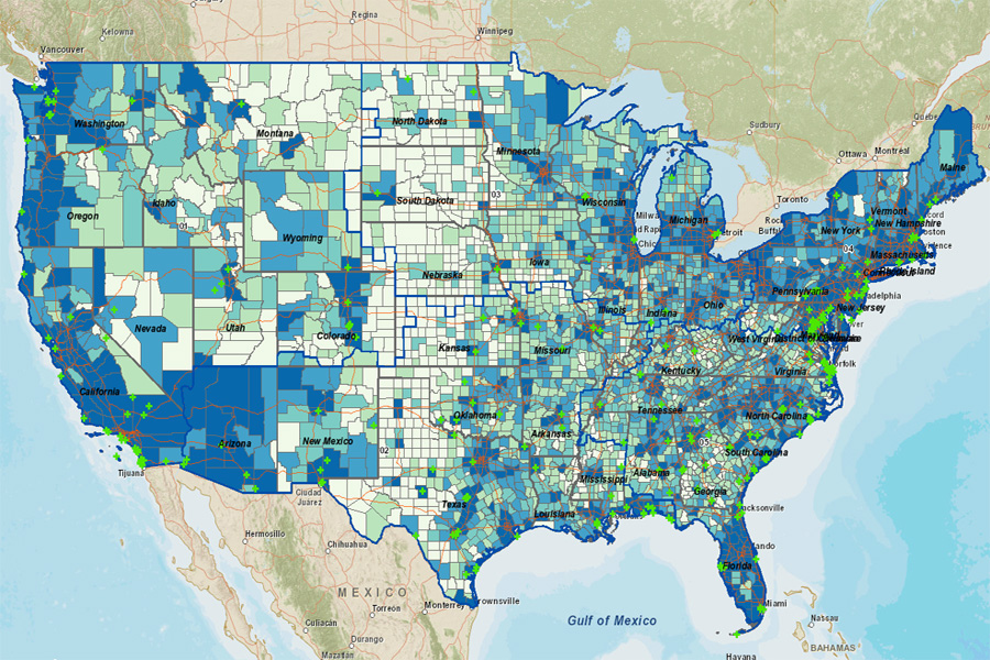
 Custom Solutions for Internet, Mobile and Desktop
GeoSpatial Business Intelligence and Geo-Analytics
Data Interoperability, Conflation and Geodatabase Development
Complete ArcGIS Toolset (Server, Desktop, Mobile, SharePoint)
ArcGIS Runtime, ArcGIS Online, ArcGIS Engine, SDKs, ArcObjects
REST APIs for Flex, Silverlight and JavaScript
MapServer, OpenStreetMap, OpenLayers, PostgreSQL, AutoCAD
HTML 5, CSS 3, DOJO 1.8 and Open Standards

Integrated Custom WAM Solutions
Mobile Work Order and Asset Management
Real-time Information Sharing
Improved Performance for Work Orders Management
Efficient Use of Geodatabase as Asset Registry
Oracle Utilities WAM, IBM Maximo, Cityworks, ArcFM
System Health Checks at Multiple Service Nodes
Graphical Tracking Information with Basemap and Overlays
Details - Location, Speed, Direction, Automobile Diagnostics
Transmit Location Data at Pre-Set Time Interval
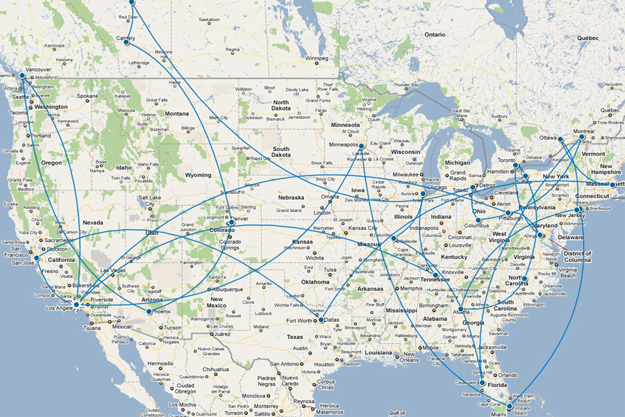
Origin/Destination Route Matrix, Service Area and Choropleth Maps
Optimized Multi-Stop Routes and Schedules
Multi-Nodal Transportation Routes Analysis
Disaster Risk Management with Business Intelligence
Better Mobile Workforce Productivity
Read More